|
Maps
Central idea:
Maps help us understand the geography of the land around us. Lines of inquiry:
|
|
|
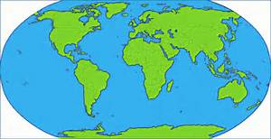
Maps and globes can take you anywhere – to the top of the tallest mountain on earth or the bottom of the deepest ocean. Maps tell you about the world: where various countries are located, where the jungles and deserts are, even how to find your way around your own hometown. During this unit students will learn how easy it is to find the places they know and love.
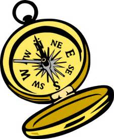
How is map reading important? It is very important as map interpretation combines reading and mathematics skills and helps build spatial sense and visual literacy (a set of skills and habits of mind necessary to “read” images. Visual literacy means not just decoding an image but comprehending it — grasping the image’s intended meaning, evaluating it, and incorporating it into other knowledge). Here are a few basic map related terms students will get familiar with: a map title, a landmark, a scale, a legend/key, a compass rose, a symbol, routes, cardinal directions, a globe. |
|
During this unit students will learn:
|
